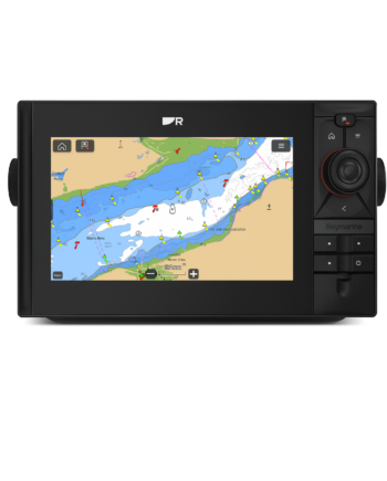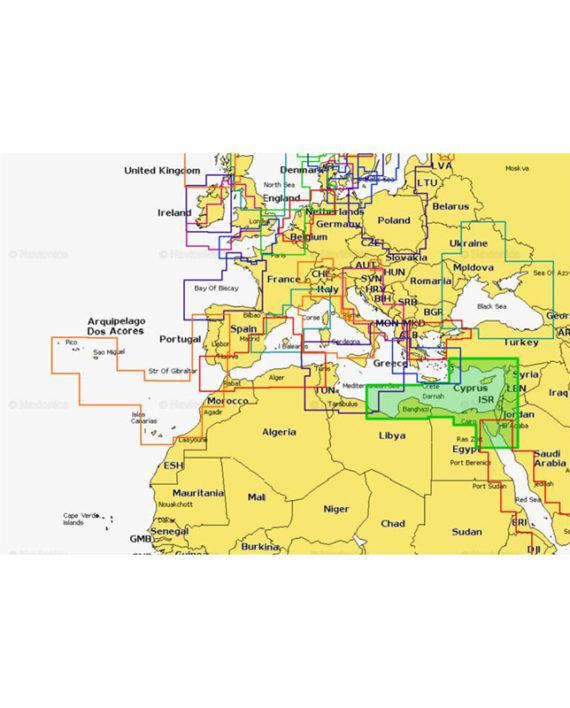
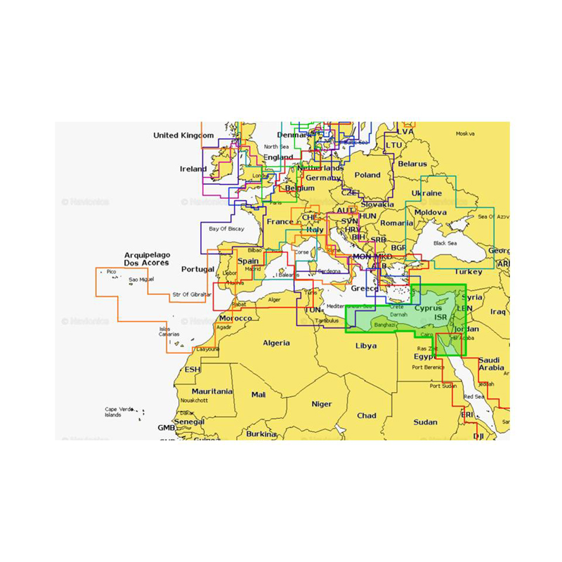
Transform the way you navigate with fully-featured vector charts, dynamic raster charts, plus 3D and satellite chart options.
Head out with confidence! All the same marine and lakes content and advanced features found in Navionics+ are augmented with 3D View, satellite overlay and panoramic photos to provide the ultimate situational awareness.
Designed with the most demanding boaters and serious anglers in mind, these additional viewing options can be used on a growing number of GPS plotters.
Daily updates and advanced features are included for one year.
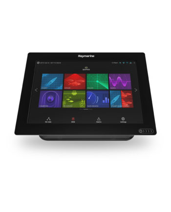
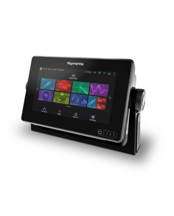
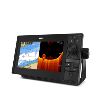
Power in your hands
The most accurate and thorough set of information created for marine and lakes. All essential cartographic reference detail for cruising, sailing and fishing: port plans, safety depth contours, marine services, tides & currents, and navigation aids.