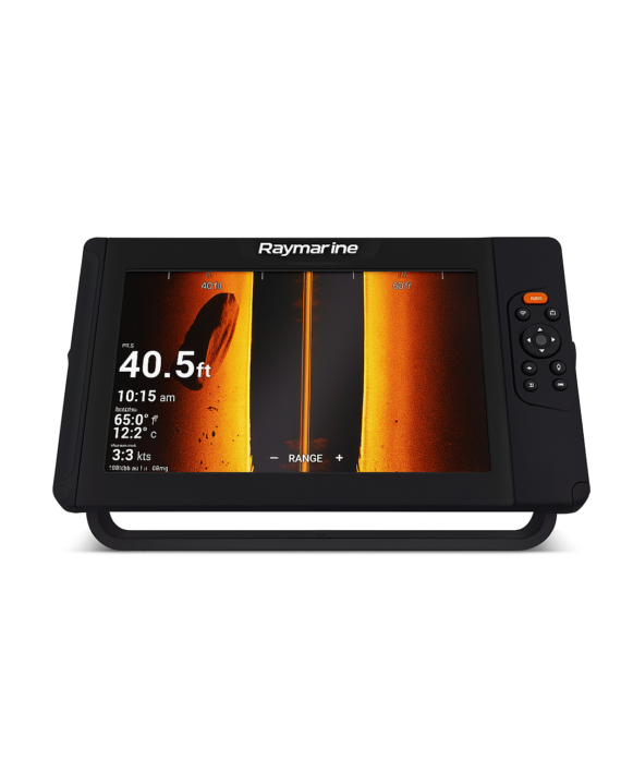
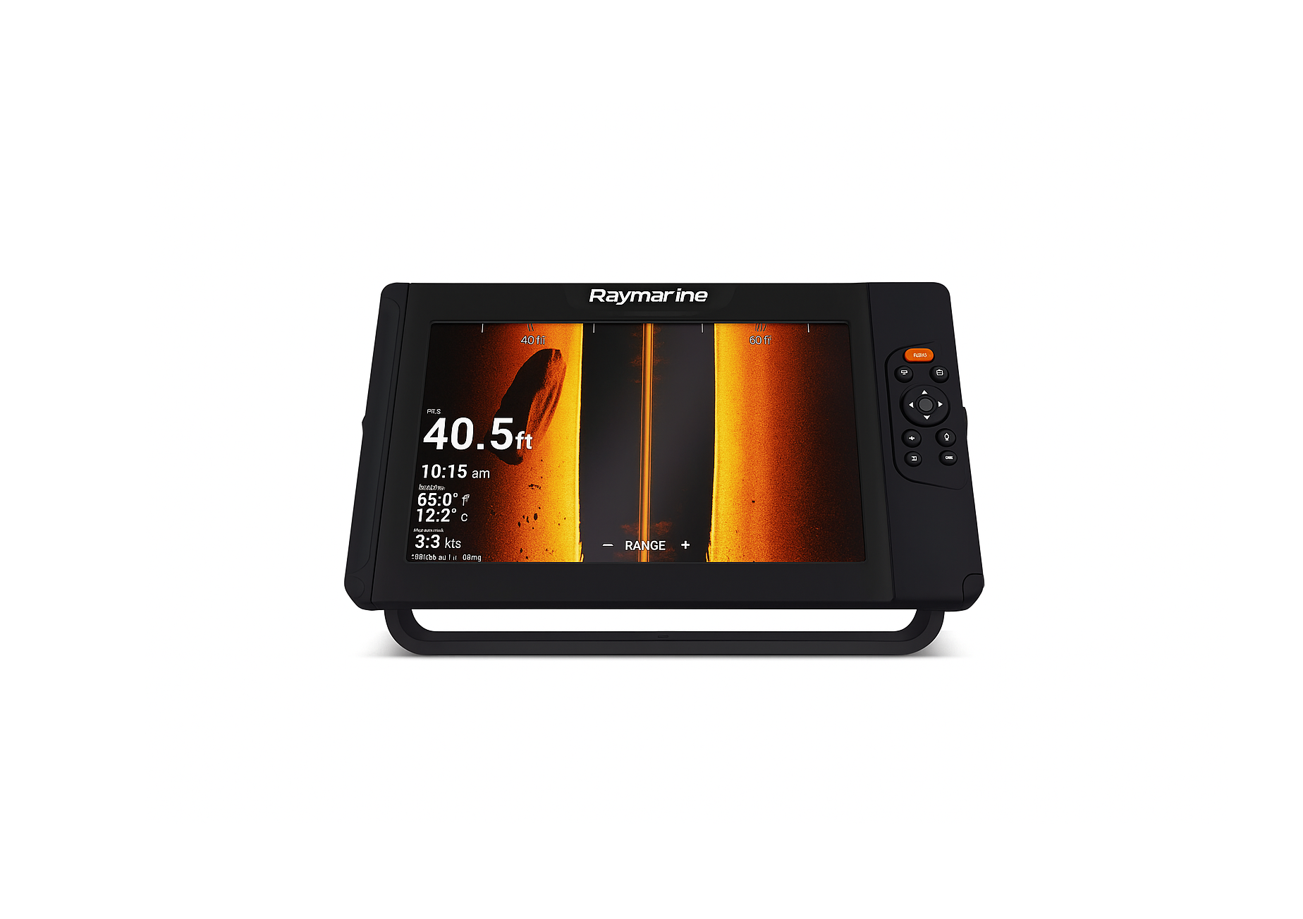
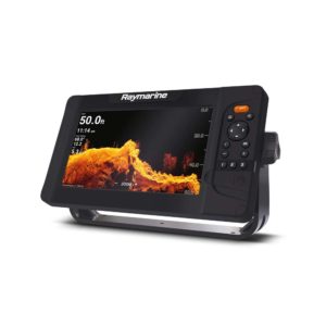
Bright and Rugged
Sunlight viewable displays with integrated GPS/GNSS receiver.
Superior HyperVision™
1.2 megahertz CHIRP sonar technology delivers much higher resolution imaging compared to conventional side and down scanning sonars.
RealVision™ 3D Built-In
Accurately identify the location of ledges, channel beds, and other contour changes.
Fast Quad-Core Processor
For instantaneous chart re-draw and sharp 3D imaging.
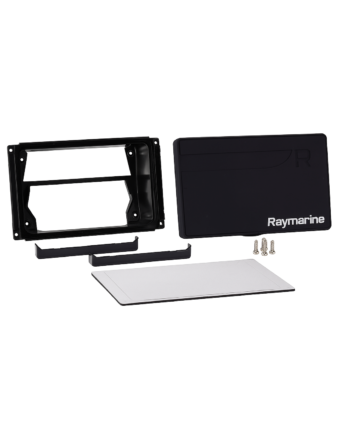
All-in-one Transducer
Combines HyperVision, DownVision, SideVision, RealVision, and conventional CHIRP sonar channels into one simple installation.
Intuitive Controls
An oversized waypoint key for marking your favorite spots and three user-programmable keys.
Smart Mapping
With support for Raymarine LightHouse NC2 charts with Fishing Hot Spots®, Navionics, and C-MAP.
Turn Up the Resolution with HyperVision™
- HyperVision uses super high frequencies (1.2 megahertz) and CHIRP technology to bring a new level of precision imaging to DownVision, SideVision and RealVision 3D
- 1.2 megahertz HyperVision mode is optimized for super high-resolution imagery up to 100’ (30 meters)
- Switch to standard 350 kHz CHIRP sonar for longer range, high-resolution imaging, and ranges up to 600’ (180 meters)
- Element’s advanced CHIRP sonar also operates in the high-frequency 200kHz range for fish targeting, high-speed bottom tracking, and depths up to 900ft
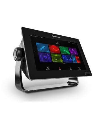
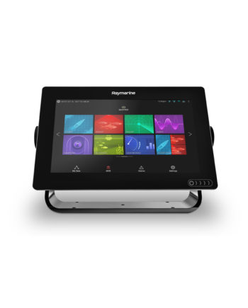
 Element 9 HV – 9″ Chart Plotter with CHIRP Sonar, HyperVision, Wi-Fi & GPS